(707) 839-5130 | Contact Us
Geologic Evaluation of a Proposed Nonindustrial Timber Management Plan (NTMP)
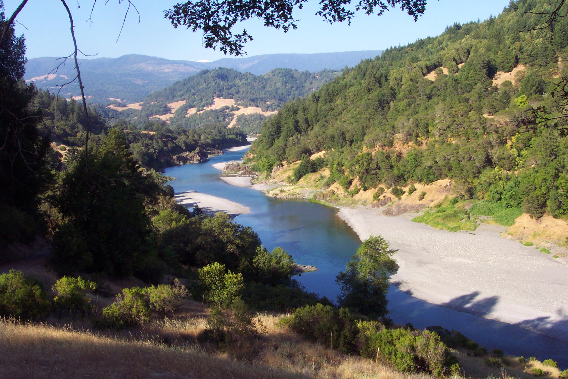
South Fork Eel River, Humboldt County, California
Summary:
PWA was hired to evaluate a proposed NTMP in the South Fork Eel River watershed with respect to potential for sediment delivery to watercourses as a result of landsliding and road use from timber harvest activities.
Client:
Bob Howard
Location:
Humboldt County, California
Project Lead (s):
Tom Leroy Project Gallery:
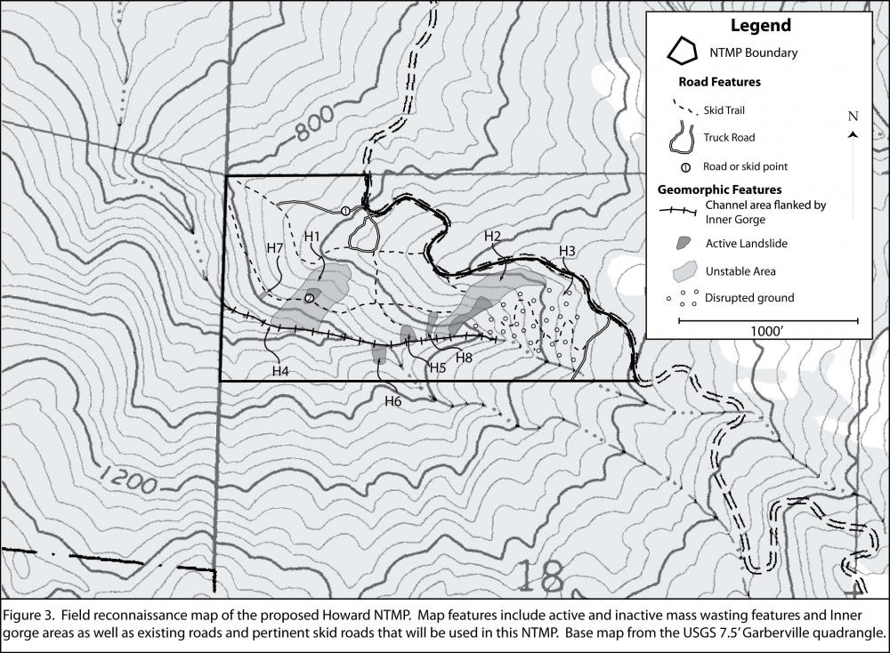
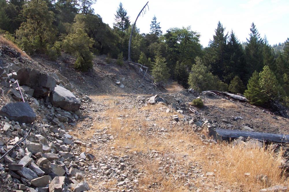
Our investigation focused on evaluating landscape response to past timber harvest and road construction activities, documenting existing slope failures and areas of instability within the proposed harvest areas, evaluating potentially unstable areas, and analyzing the potential for erosion and sediment delivery associated with the road and skid trail system proposed for continued usage. Our field investigation was conducted and a geological report was prepared in general accordance with the California Geological Survey (CGS) Note 45 Guidelines for Engineering Geologic Reports for Timber Harvest Plans (1999). Assessment of landslide type and activity was evaluated in accordance with Cruden and Varnes (1996), Keaton and DeGraff (1996), and CGS Note 50 Factors Affecting Landslides in Forested Terrains (1999).
The proposed NTMP area is located within the lower reaches of two un-named tributaries of the South Fork Eel River watershed, which is listed as impaired by sediment and temperature under the federal Clean Water Act, Section 303(d). Based on our field investigations, literature review, and historic air photo analysis, we were able to provide recommendations that will allow for the continued sustainable harvesting of trees in a manner that will minimize negative impacts on slope stability, sediment delivery, and aquatic resources within and adjacent to the plan area.
Services Rendered :
- 9 of 26
- Projects:
- ‹ previous
- next ›
